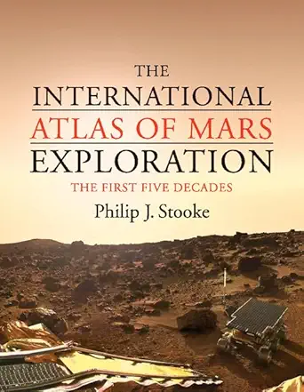
The International Atlas of Mars Exploration: Volume 1, 1953 to 2003: The First Five Decades Annotated Edition
Author(s): Philip J. Stooke (Author)
Publisher: Cambridge University Press
Publication Date: September 24, 2012
Edition: Annotated
Language: English
Print length: 376 pages
ISBN-10: 0521765536
ISBN-13: 9780521765534
Book Description
Covering the first five decades of the exploration of Mars, this atlas is the most detailed visual reference available. It brings together, for the first time, a wealth of information from diverse sources, featuring annotated maps, photographs, tables, and detailed descriptions of every Mars mission in chronological order, from the dawn of the space age to Mars Express. Special attention is given to landing site selection, including reference to some missions that were planned but never flew. Phobos and Deimos, the tiny moons of Mars, are covered in a separate section. Contemporary maps reveal our improving knowledge of the planet’s surface through the latter half of the twentieth century. Written in non-technical language, this atlas is a unique resource for anyone interested in planetary sciences, the history of space exploration, and cartography, while the detailed bibliography and chart data are especially useful for academic researchers and students.
Editorial Reviews
Review
“This is without question the definitive reference work on Mars exploration. It is a must for anyone interested in the planet – from laypersons to practicing planetary scientists. If Mars had its own family scrapbook, this would be it. The reviewer can hardly wait for volume 2…Essential. Lower-level undergraduates and above; general readers.” – T.D. Oswalt, Florida Institute of Technology, Choice, April 2013
“…is an interesting historical perspective of how the plans for exploring Mars have evolved since the 1950s…This book deserves a place on your bookshelf if you are a fan of maps and the history of Mars exploration.” – Nadine G. Barlow, Northern Arizona University,Meteoritics & Planetary Science
Book Description
A detailed visual reference covering the exploration of Mars from 1953 to 2003 through annotated maps, photographs, tables and detailed mission descriptions.
About the Author
Philip Stooke is a cartographer and imaging expert at the University of Western Ontario, whose interest in mapping the Moon and planets began during the Apollo missions. He has developed novel methods for mapping asteroids and many of his asteroid maps are now accessible from NASA’s Planetary Data System. He has studied spacecraft locations on the Moon and Mars, notably locating Viking 2 on Mars. He is the author of many papers and articles on planetary mapping, planetary geology and the history of cartography and planetary science. His book The International Atlas of Lunar Exploration was published by Cambridge University Press in 2008.
 Wow! eBook