 Wow! eBook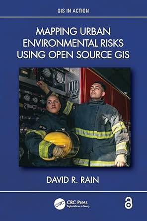
Mapping Urban Environmental Risks Using Open Source GIS
Author(s): David R. Rain (Author)
- Publisher: CRC Press
- Publication Date: June 23 2026
- Edition: 1st
- Language: English
- Print length: 240 pages
- ISBN-10: 1032636920
- ISBN-13: 9781032636924
Book Description
Cities across the world are facing a convergence of environmental risks, from flooding and extreme heat events to air pollution and water scarcity. These threats are increasingly uneven in their impacts and deeply shaped by local geography. This book offers a practical, accessible guide to understand and respond to these threats using open source geographic information systems (GIS) and freely available spatial data. Through real-world case studies, the author discusses each risk separately to meet the needs of decision-making when urban threats happen.
Features:
- Focuses on mapping specific urban threats such as water scarcity, flood risk, fire, and urban heat islands.
- Takes a risk-by-risk approach grounded in the everyday realities of each city and using geospatial tools to support action.
- Shows how to analyze urban threats using open tools like QGIS, freely accessible satellite imagery, and public datasets.
- Emphasizes concepts and decision-making rather than software mastery, making it suitable for a variety of readers.
By demystifying geospatial analysis and emphasizing hands-on, place-based projects, this book empowers readers, such as students, city planners, journalists, community advocates, and public health officials alike, to investigate environmental risks in their own neighborhoods and use maps to support smarter, more equitable action. The Open Access version of this book, available at http://www.taylorfrancis.com, has been made available under a Creative Commons Attribution-Non Commercial-No Derivatives (CC BY-NC-ND) 4.0 license.
Editorial Reviews
About the Author
David R. Rain is Associate Professor of Geography and International Affairs at the George Washington University. He is a human-environment geographer with interests in the health and environmental consequences of international urbanization, geospatial science and technology, population and census geography, disaster vulnerability and resilience, and geographic and environmental education. He is author of Eaters of the Dry Season, and the UN Handbook on Geospatial Infrastructure in Support of Census Activities.


