 Wow! eBook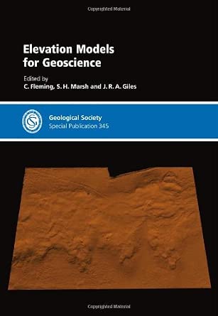
Elevation Models for Geoscience: Special Publication 345
Author(s): C. Fleming (Editor), S. H. Marsh (Editor), M. C Cabrera (Editor)
- Publisher: Geological Society
- Publication Date: 1 Dec. 2010
- Language: English
- Print length: 160 pages
- ISBN-10: 1862393133
- ISBN-13: 9781862393134
Book Description
Elevation data are a critical element in most geoscience applications. From geological mapping to modelling Earth systems and processes geologists need to understand the shape of the Earth’s surface. Vast amounts of digital elevation data exist, from large-scale global to smaller scale regional datasets, and many datasets have been merged to improve scale and accuracy. For each application, decisions are made on which elevation data to use driven by cost, resolution and accuracy. This publication shows the current status of available digital elevation data and illustrates the key applications. The types of data assessed include: ASTER stereo satellite imagery, Shuttle Radar Topographic Mapping data, airborne laser and radar such as NEXTMap, and Multibeam Bathymetry. Applications covered include: glacial deposits, landslides, coastal erosion and other geological hazards. Technical issues discussed include: accuracy analysis, derived product creation, software comparisons and copyright considerations. This volume is a comprehensive look at elevation models for geoscience.


