 Wow! eBook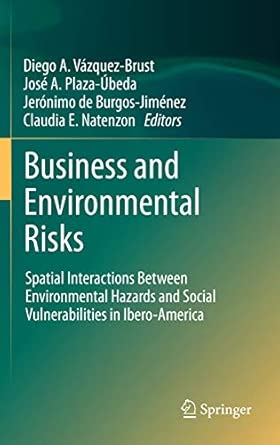
Business and Environmental Risks: Spatial Interactions Between Environmental Hazards and Social Vulnerabilities in Ibero-America 2012th Edition
Author(s): Diego A. Vazquez-Brust (Editor), José A. Plaza-Úbeda (Editor), Jerónimo de Burgos-Jiménez (Editor), Claudia E. Natenzon (Editor)
- Publisher: Springer
- Publication Date: 5 Nov. 2011
- Edition: 2012th
- Language: English
- Print length: 180 pages
- ISBN-10: 9400727410
- ISBN-13: 9789400727410
Book Description
Editorial Reviews
From the Back Cover
Based on detailed research funded across two continents and involving universities in Argentina, Spain and the UK, this book sets out an innovative, multidisciplinary approach to assessing both environmental and social risks in a given territorial area. Using data from a number of Ibero-American nations, the study combines environmental, socio-economic and geographic factors to construct a set of spatial and technical indicators that measure the social vulnerability and industrial hazardousness of a defined area. Aggregating these indicators in a geographic information system (GIS) allows researchers to assess the potential risk to which a certain area and its population are subject as a result of the environmental deterioration caused by co-located industrial activity.
The authors perform this assessment at two levels: a regional one that identifies average risk over large administrative areas such as provinces, and at a more detailed scale they name the ‘census unit’, to determine the distribution in the locality of risk-laden and contaminating industries. The methodology applied allows for greater accuracy and detail in identifying geographical variations in calculating the levels of risk within a single country. It also facilitates more productive comparisons different countries in Ibero-America.


