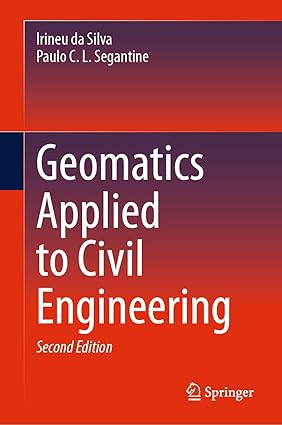
Geomatics Applied to Civil Engineering
by: Irineu da Silva (Author), Paulo C. L. Segantine (Author)
Publisher: Springer
Edition: Second Edition 2025
Publication Date: 2025-05-14
Language: English
Print Length: 1032 pages
ISBN-10: 303175736X
ISBN-13: 9783031757365
Book Description
This textbook deals jointly with theoretical and practical concepts within geomatics in civil engineering, based on the global understanding of its use. Written by civil engineers with professional backgrounds in geomatics, the book has a number of unique characteristics, including analysis of geodetic references and their coordinate systems to allow their conversions and applications taking into account the local topographic plan; analysis of the measurements of directions, angles and distances, inserting them into the concepts of practical use of modern measuring instruments; detailed description of the main components of measurement instruments used in geomatics; discussion of instrumentation errors and their implications; and a complete study of UTM Projection System and its variants, equations, and practical application in civil engineering projects. For students and instructors, and practitioners, the subjects covered in the book are organized to cover most topics related to the disciplines of surveying or geomatics studied in civil engineering courses.It is entirely based on adjustment computation for spatial data analysis including coordinate geometry and traverse computation. To this end, an entire chapter is devoted to adjustment computation based on matrix theory to help readers understand its applications in spatial data analysis throughout the book’s chapters; including chapters on modern technologies such as conventional and UAV-based digital photogrammetry, digital terrain modelling, terrestrial laser scanning and BIM.
Editorial Reviews
This textbook deals jointly with theoretical and practical concepts within geomatics in civil engineering, based on the global understanding of its use. Written by civil engineers with professional backgrounds in geomatics, the book has a number of unique characteristics, including analysis of geodetic references and their coordinate systems to allow their conversions and applications taking into account the local topographic plan; analysis of the measurements of directions, angles and distances, inserting them into the concepts of practical use of modern measuring instruments; detailed description of the main components of measurement instruments used in geomatics; discussion of instrumentation errors and their implications; and a complete study of UTM Projection System and its variants, equations, and practical application in civil engineering projects. For students and instructors, and practitioners, the subjects covered in the book are organized to cover most topics related to the disciplines of surveying or geomatics studied in civil engineering courses.It is entirely based on adjustment computation for spatial data analysis including coordinate geometry and traverse computation. To this end, an entire chapter is devoted to adjustment computation based on matrix theory to help readers understand its applications in spatial data analysis throughout the book’s chapters; including chapters on modern technologies such as conventional and UAV-based digital photogrammetry, digital terrain modelling, terrestrial laser scanning and BIM.